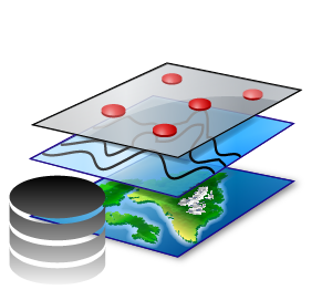
A Free GIS Package for Tierra del Fuego and Patagonia QFUEGO-PATAGONIA WEBMAP What is QFuego-Patagonia? A free GIS Package for Tierra del Fuego and Patagonia (45°- 56 S°) and interactive web portal that provides capabilities for downloading the data and simple online analyses for this region. Download Package QGIS Tierra del Fuego / Patagonia QFuego-Patagonia Mapping Tool and Interactive Website This free mapping tool is focused on supporting interdisciplinary research for Tierra del Fuego and Patagonia, teaching, and collaboration.The interactive web portal contains the same dataset as the GIS Packages, in which the layers can be visualized one by one. WEBMAP GIS Packages This GIS Packages comprises key datasets into a unified, all-in-one open-source GIS environment, which can be visualized offline and online. Download Package